


A Digital Revolution for Gravel Roads: How ConX Wireless Is Transforming Municipal Road Grading

Maintaining gravel roads has always been a demanding and deeply essential responsibility for rural and municipal governments. Each season, operators steer graders across hundreds—sometimes thousands—of kilometers of roadway, repairing washboards, restoring crown, eliminating potholes, and preparing surfaces for ever-changing weather conditions. Yet despite the importance of this work, one long-standing challenge has shadowed municipalities everywhere:
How do you verify where—and when—road grading truly occurred?
For generations, supervisors have relied on handwritten notes, radio calls, visual inspections, and operator memory. But as expectations for transparency, efficiency, and accountability rise, municipalities are embracing a more modern, precise, and scalable approach.
The ConX Wireless Road Grader System is at the center of this transformation—bringing digital oversight, analytics, and accurate, defensible reporting to one of the most critical municipal maintenance tasks.
The ConX Wireless Road Grader System is at the center of this transformation—bringing digital oversight, analytics, and accurate, defensible reporting to one of the most critical municipal maintenance tasks.
Turning the Road Grader into a Data-Smart Machine
The ConX system begins with a compact wireless monitoring unit installed directly onto each road grader. Once active, the unit automatically records:
• GPS movement and route history
• Blade-up and blade-down events
• Start and stop times
• Exact road segments serviced
Every activity is transmitted securely to an online dashboard that public-works staff can access from the office or the field.
For municipalities spread across large rural regions, this immediately eliminates the need for verification drives and manual documentation. Supervisors no longer need to guess whether a road was completed—they can see it, time-stamped and mapped, in real time.
• GPS movement and route history
• Blade-up and blade-down events
• Start and stop times
• Exact road segments serviced
Every activity is transmitted securely to an online dashboard that public-works staff can access from the office or the field.
For municipalities spread across large rural regions, this immediately eliminates the need for verification drives and manual documentation. Supervisors no longer need to guess whether a road was completed—they can see it, time-stamped and mapped, in real time.
Where uncertainty once dominated, precision now takes its place.
A Clear, Accurate Picture of Road Work
One of the system’s most valuable features is its blade-position tracking. Rather than merely showing that a grader traveled down a road, it reveals when actual grading occurred. This distinction matters—immensely.
With accurate blade-down data, municipalities can:
• Compare planned routes against completed work
• Identify high-maintenance or fast-degrading segments
• Allocate operators and equipment with greater efficiency
• Understand how weather affects gravel stability over time
With accurate blade-down data, municipalities can:
• Compare planned routes against completed work
• Identify high-maintenance or fast-degrading segments
• Allocate operators and equipment with greater efficiency
• Understand how weather affects gravel stability over time
What was once estimated is now measurable, helping municipalities shift from reactive maintenance to proactive planning.
Road Segment Analytics (RSA): A New Era of Strategic Maintenance
The latest advancement in the ConX grader system—Road Segment Analytics (RSA)—represents one of the most significant breakthroughs in municipal infrastructure management.
RSA divides the municipality’s road network into standardized, trackable segments. For each one, the system automatically compiles:
• Grading frequency over days, months, and seasons
• Operator performance and time-on-task
• Road deterioration trends and resurfacing needs
• Cross-district service comparisons
• Years of historical grading outcomes
This level of insight allows municipal leaders to answer critical questions with clarity:
• Which road sections are absorbing the most labour and fuel?
• Where is the gravel base failing and requiring more than routine grading?
• Are certain areas being maintained more often than necessary?
• How can we optimize crew scheduling across the municipality?
RSA divides the municipality’s road network into standardized, trackable segments. For each one, the system automatically compiles:
• Grading frequency over days, months, and seasons
• Operator performance and time-on-task
• Road deterioration trends and resurfacing needs
• Cross-district service comparisons
• Years of historical grading outcomes
This level of insight allows municipal leaders to answer critical questions with clarity:
• Which road sections are absorbing the most labour and fuel?
• Where is the gravel base failing and requiring more than routine grading?
• Are certain areas being maintained more often than necessary?
• How can we optimize crew scheduling across the municipality?
By identifying precisely which segments demand more attention, RSA empowers municipalities to stretch service budgets further while improving overall road quality.
Municipal Map Overlay: Seeing Roads as Operators See Them
The ConX system becomes even more powerful with its Municipal Map Overlay feature, which allows municipalities to upload their custom, official road maps directly into the platform.
This makes graders visible not just on a generic GPS map, but on the municipality’s true operational grid, including:
• Numbered and named roads
• Grid networks and range roads
• Service regions, wards, or divisions
• Designated seasonal or weight-restricted routes
• Paved vs. gravel classifications
With this overlay, supervisors gain an operational view that mirrors their real-world road inventory. They can instantly see:
• Which roads were graded today
• Where the grader is working live
• Which segments are overdue for maintenance
• How coverage compares across multiple districts
This makes graders visible not just on a generic GPS map, but on the municipality’s true operational grid, including:
• Numbered and named roads
• Grid networks and range roads
• Service regions, wards, or divisions
• Designated seasonal or weight-restricted routes
• Paved vs. gravel classifications
With this overlay, supervisors gain an operational view that mirrors their real-world road inventory. They can instantly see:
• Which roads were graded today
• Where the grader is working live
• Which segments are overdue for maintenance
• How coverage compares across multiple districts
This alignment between field activity and municipal mapping eliminates confusion, enhances planning, and enables faster responses to public inquiries.
Publicly Accessible – Snow Clearing Map
The ConX Wireless Road Snow-Clearing Map provides a clear, public-facing view of winter highway conditions, allowing ratepayers, school transportation planners, councillors, and municipal staff to instantly see how recently each road has been cleared. Using colour-coded time blocks that update hourly, the map lets drivers assess road safety before travelling and significantly reduces call volumes to the municipal office.
This system greatly improves driver safety, illustrates the efficiency of road crews, and strengthens public confidence in municipal winter operations.
Accessible through an RM website, Facebook link, or a home-screen icon on any mobile device, the Snow-Clearing Map ensures everyone—from ratepayers to administrators—is “in the loop” without requiring any questions or phone calls.
The easy-to-view layout offers instant answers to the one concern that matters most during winter: Are my roads safe? With better data presented simply and clearly, municipalities can support safer decision-making and more transparent service delivery throughout the winter season
The easy-to-view layout offers instant answers to the one concern that matters most during winter: Are my roads safe? With better data presented simply and clearly, municipalities can support safer decision-making and more transparent service delivery throughout the winter season
Improving Public Confidence Through Accountability
Few municipal services generate as many resident phone calls as gravel road maintenance. Homeowners frequently want to know when their road was last graded—or argue that it was missed.
With ConX, staff can resolve these inquiries in seconds.
The combination of blade-position logs, RSA data, and municipal overlays provides irrefutable proof of service. Disputes decrease dramatically, and municipalities gain a reliable defense when questions of liability arise.
The result is higher public trust, reduced administrative workload, and a more transparent road maintenance program.
With ConX, staff can resolve these inquiries in seconds.
The combination of blade-position logs, RSA data, and municipal overlays provides irrefutable proof of service. Disputes decrease dramatically, and municipalities gain a reliable defense when questions of liability arise.
The result is higher public trust, reduced administrative workload, and a more transparent road maintenance program.
Long-Term Value: Data That Strengthens Municipal Planning
Beyond day-to-day operations, the ConX system builds a deep, increasingly valuable archive of information. Over the years, municipalities can review:
• Seasonal patterns in gravel road degradation
• Operator workload and fleet efficiency
• Fuel and labour consumption
• Differences between grading frequency and actual road performance
• Structural weaknesses requiring gravel replacement or reconstruction
This data helps municipalities:
• Build more accurate budgets
• Predict costly maintenance years in advance
• Optimize grader deployment
• Reduce unnecessary equipment wear
• Identify when a road requires more than surface grading
• Seasonal patterns in gravel road degradation
• Operator workload and fleet efficiency
• Fuel and labour consumption
• Differences between grading frequency and actual road performance
• Structural weaknesses requiring gravel replacement or reconstruction
This data helps municipalities:
• Build more accurate budgets
• Predict costly maintenance years in advance
• Optimize grader deployment
• Reduce unnecessary equipment wear
• Identify when a road requires more than surface grading
The shift from guesswork to analytics-driven maintenance leads directly to cost savings and smoother, safer roads for the travelling public.
Part of a Larger Municipal Operations Ecosystem
The Road Grader System integrates seamlessly with the broader ConX Wireless platform, which supports:
• Mowers
• Sprayers
• Snow-removal equipment
• Water-fill stations
• Numerous other municipal infrastructure systems
• Mowers
• Sprayers
• Snow-removal equipment
• Water-fill stations
• Numerous other municipal infrastructure systems

Blog title heading will go here
Lorem ipsum dolor sit amet, consectetur adipiscing elit. Suspendisse varius enim in eros.
Blog title heading will go here
Lorem ipsum dolor sit amet, consectetur adipiscing elit. Suspendisse varius enim in eros.
Blog title heading will go here
Lorem ipsum dolor sit amet, consectetur adipiscing elit. Suspendisse varius enim in eros.
Blog title heading will go here
Lorem ipsum dolor sit amet, consectetur adipiscing elit. Suspendisse varius enim in eros.
All Articles
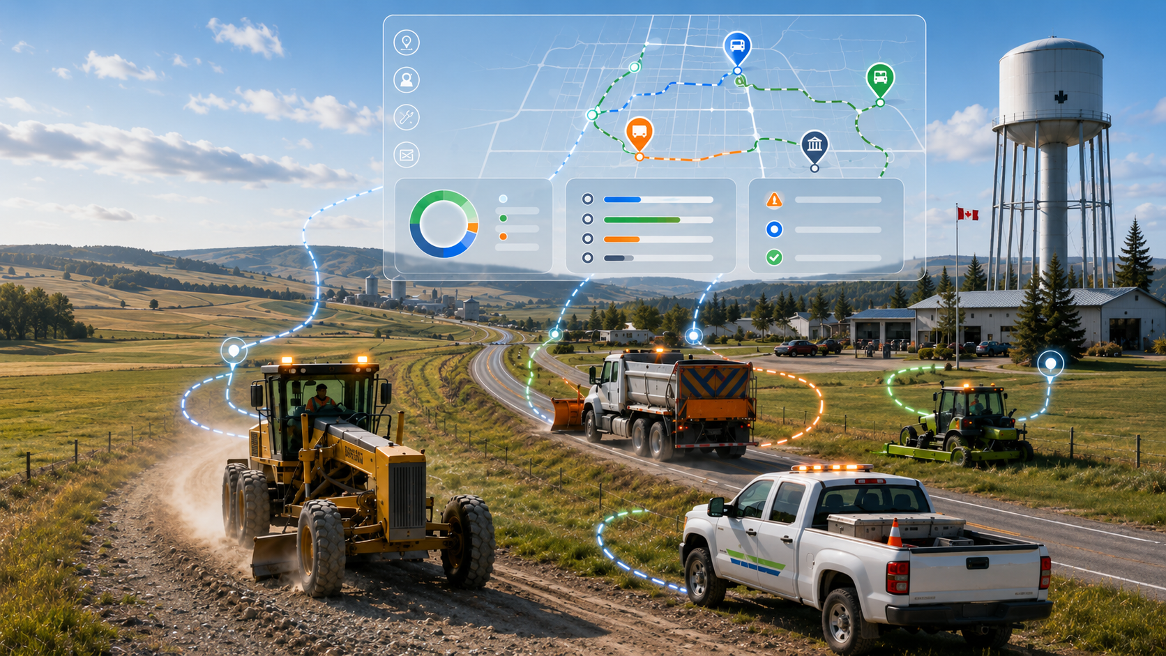
5 Ways Rural Municipalities Improve Efficiency with GPS
Across Canada, rural municipalities are under constant pressure to do more with limited budgets, aging infrastructure, and small operational...
A Digital Revolution for Gravel Roads
Maintaining gravelroads has always been a demanding and deeply essential responsibility for rural and municipal governments. Each season, operators steer graders across hundreds—sometimes thousands...
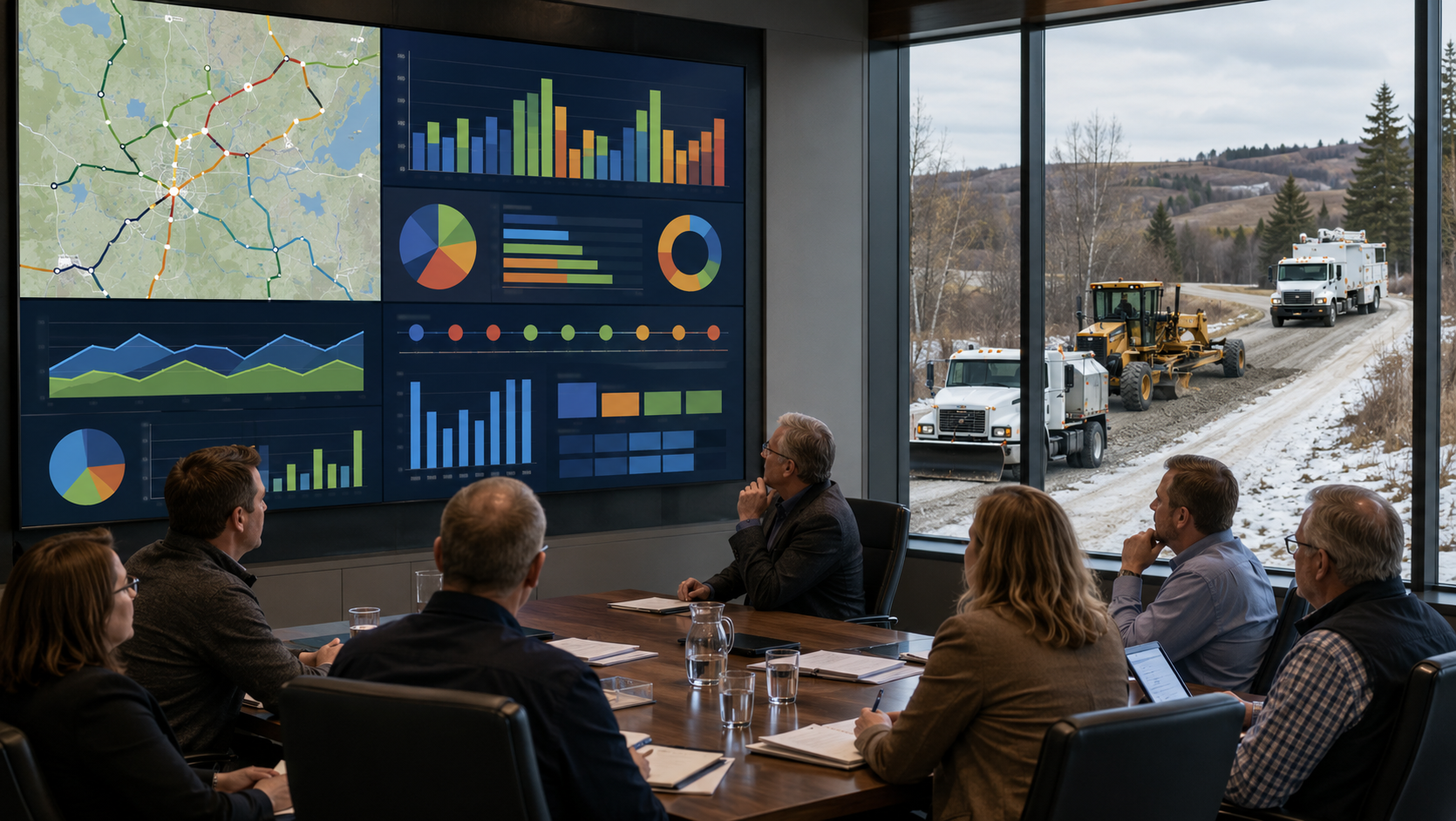
How Councils Use Municipal Operational Reporting Data
Modern municipal councils are under increasing pressure to make informed decisions, control costs, improve transparency, and respond quickly to resident concerns. Across Canada...
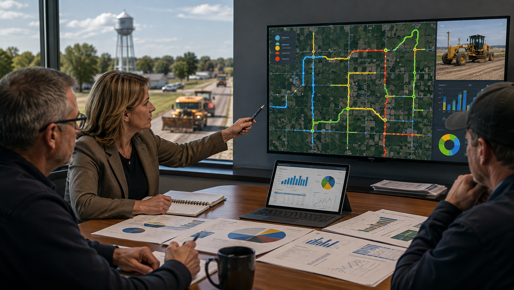
Municipal Grader Tracking Improves Accountability
Across Canada, rural municipalities and public works departments faceincreasing pressure to provide better service with limited budgets, aging equipment, and fewer available...

Material Haulage: Tracking the Load
Municipal roadmaintenance, gravel delivery, and aggregate spreading have long been essential yet logistically complex tasks for rural and regional governments. Where loads are dropped, how much material is used, and whether crews followed optimal...