VANCOUVER: (778)658-6633 | CALGARY: (825)425-3347 | SASKATOON: (306)979-8900 | WINNIPEG: (431)816-2044 | TORONTO: (647)559-7989 | FREDERICTON: (506)405-2460 | HALIFAX: (902)706-8284 | ST.JOHN'S: (709)705-6242
WIRELESS & GPS
ASSET MANAGEMENT FOR
MUNICIPAL GOVERNMENTS
& INDIGENOUS COMMUNITIES
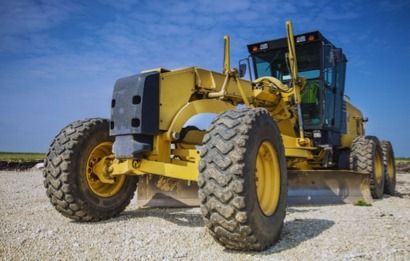
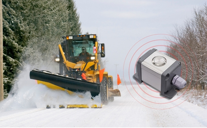
Real-time recording of roadwork - No manual entry
Shows work completed vs vehicle travel
Ratepayer inquires answered quickly & accurately
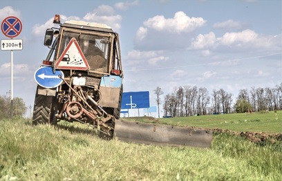
Prevent costly mower & culvert damage
Eliminate the spreading of noxious weeds
View detailed history of mowing programs/routes

Eliminate manual reporting of work completed
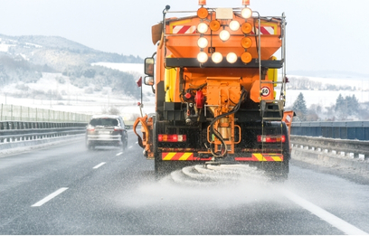
Protect against litigation with spray history
View chemical spray history by type or area

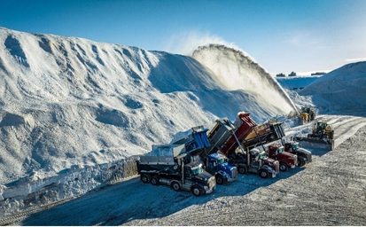
Map material drops, routes, and dump locations
Track material costs by pile, load, and distance
Eliminate manual haulage reporting
Identify & target problem areas quickly
Provide defense against potential litigation
Verify compliance with established procedures
Track location/type of applied materials
Get a detailed breakdown of project costs
Monitor activity in time & distance
Automatic 3rd-Party Disposal Billing & Reports
Eliminate need for site attendants
Multi-site functions for permanent & temporary sites
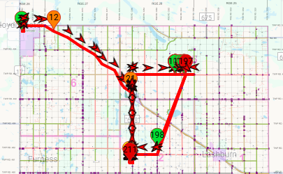
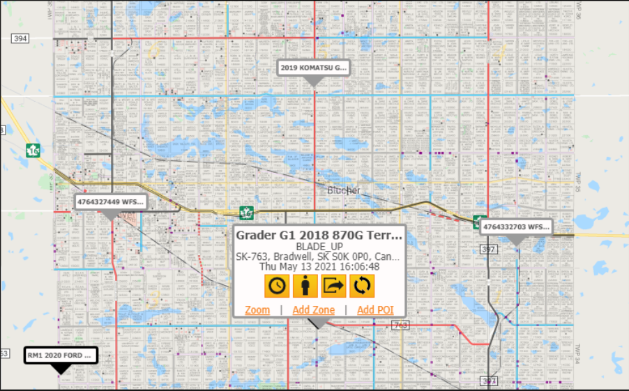
Real-time & historical activity mapping
Monitor location & productivity of equipment
View work completed & work needing completion
Improve staff/lone-worker health & safety
Comply with Lone Worker Legislation
Be immediately notified to worker in distress
Improve staff/lone-worker health & safety
Monitor vehicle daily activities
View movement history by area or vehicle
Be notified when your bus is approaching your location
Secure privacy for school bus systems
Receive bus delay notifications
Know where essential work tools are located
Never again lose your valuable assets
See how often & where your assets have been used
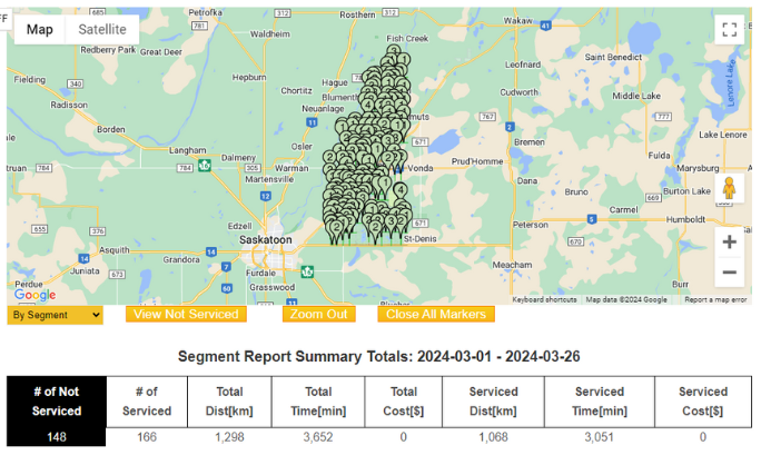
See roadwork: # times, total distance, total costs
Know what roads had been missed for road work
Use historical data to plan future activities
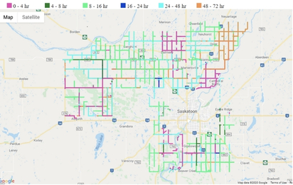
Drastically reduce road clearing inquiries
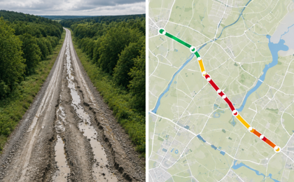
Updated hourly with a 72 hour colour-coded history
Ratepayer view app-free on smartphone or PC
Easily view areas using known landmarks
Eliminate guessing where work was performed
Toggle between map layer types to suit your needs
Alert mower drivers before they reach culverts
Map hazards, assets, and landmarks in the field
Build simple digital maps of key asset locations
Pinpoint every issue – potholes, washouts, & more
Digital Mapping of Pending vs Completed Work
Accurate Reports for Planning, Budgeting & Visibility
Track full road segments, not just single spots
Draw repair lines for longer road projects
Project‑level reports for budgets and grants